OpenTrails Data
TrailEditor supports open data by offering a downloadable dataset of trailhead information and compatibility with GeoJSON.io for viewing and analysis.
Dataset
What's in the OpenTrails dataset
The downloadable dataset contains community-contributed trailhead records from across the country. Each entry includes geographic coordinates, street address, and amenity availability — restrooms, drinking water, parking, and on-site trail information — so hikers and developers alike can build on the data.
Geolocated Trailheads
Every trailhead includes latitude and longitude, making it ready for mapping and spatial analysis.
Amenity Status
Know whether a trailhead has restrooms, drinking water, parking, or trail information before you go.
Community Photos
Entries are grounded in geotagged photos submitted by contributors, adding real-world context.
Explore & Analyze
View trailhead data on GeoJSON.io
Open the dataset directly in GeoJSON.io to explore trailhead locations on an interactive map. Filter, inspect, and analyze the data — no downloads or special software required. It's a fast way to visualize the community's contributions and spot patterns across regions.
Open on GeoJSON.io →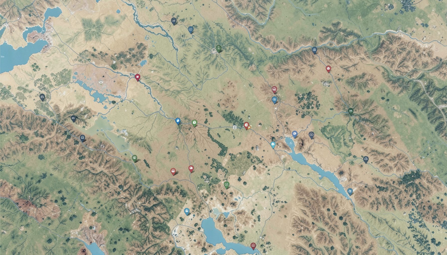
License
Free & open for everyone
All content in the TrailEditor dataset is licensed under a Creative Commons Attribution 4.0 International License. You are free to share and adapt the data for any purpose — from personal trip planning to civic apps and research — as long as appropriate credit is given.
Creative Commons Attribution 4.0 International
Use the data freely. Just give credit to TrailEditor.
Open Source
Built in the open
TrailEditor was created for the National Day of Civic Hacking 2014 by Trailhead Labs and Code for Portland. The source code is available on GitHub — fork it, explore it, and build on it.
View on GitHub →