Trailhead Map
Explore trailhead locations contributed by the community. Each marker represents a trailhead someone photographed and shared so others can find it.
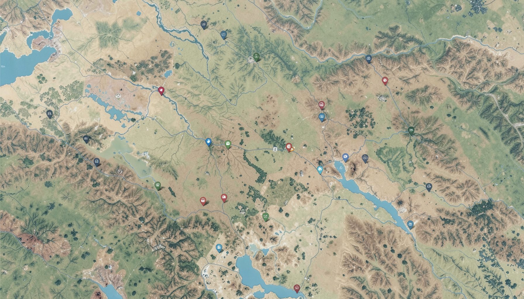
Find Trailheads Near You
The map brings together trailheads submitted by hikers, runners, and outdoor enthusiasts. Each point links to a detail page with amenity information and directions.
Community-Sourced Locations
Every marker on the map comes from a GPS-enabled photo submitted by a real person who visited that trailhead.
View on GeoJSON.io
Open the full trailhead dataset on GeoJSON.io for custom mapping and analysis.
Get Directions
Each trailhead detail page links to Google Maps and OpenStreetMap so you can navigate straight to the trail.
Check Amenities
Before you go, check whether the trailhead has parking, restrooms, drinking water, or on-site trail information.
Hacked Together For
The National Day of Civic Hacking 2014
With love from Trailhead Labs and Code for Portland
The Trail Editor map is built on a simple but powerful idea: trailhead information should be open and available to everyone. Rather than relying on a single organization to maintain location data, the platform invites the outdoor community to contribute what they know. When someone visits a trailhead and captures a GPS-enabled photo, that information becomes a marker on the map, complete with details about parking, restrooms, drinking water, and directional guidance. This collaborative model means the data grows richer with every contributor, making it easier for future visitors to plan their trips and find the amenities they need before heading out.
Getting involved is straightforward and requires no special technical expertise. Anyone with a smartphone can photograph a trailhead, and the location services built into modern devices provide the coordinates needed to place it accurately on the map. From there, contributors can add helpful notes about trail conditions, amenities, and access points. For those who prefer working with data directly, the platform supports downloading trailhead information in common geospatial formats, making it easy to convert and integrate into other tools. Whether you are a weekend hiker or a dedicated trail steward, your contributions help build a more complete picture of the outdoor landscape.
The project embraces the spirit of civic hacking and open collaboration. Its codebase is available for anyone to fork, examine, and improve, and the underlying data is shared under a permissive license that encourages reuse and attribution. This openness reflects a core belief: that information about public lands and outdoor spaces belongs to the public. By supporting open data initiatives and building tools that lower the barrier to participation, Trail Editor aims to make finding trailheads as easy as looking at a map. The result is a living resource that grows and improves with every contribution from the community it serves.